Maps are a universal tool that allow academics, scientists, researchers and policymakers to spatially analyze data, ask more meaningful questions and ultimately make well-informed decisions.
Across Cloudburst’s practice areas, our clients are often overflowing with data, but don’t know how to uncover and visualize trends hidden away in their databases. We work closely with our clients to help them understand how we can analyze their data using spatial methods to reveal patterns that provide insight into their work, how and where their money is being spent or to what extent programs are having their intended impact.
Ultimately, a map must be intuitive. From evaluating the United States Agency for International Development (USAID) programs across the globe to tracking local government program service provision and spending, Cloudburst strategizes how to best generalize and analyze datasets and carefully selects design methods to ensure the information is clearly and beautifully communicated.
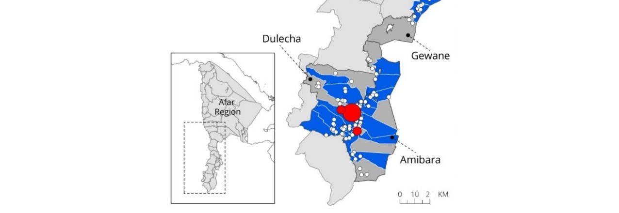
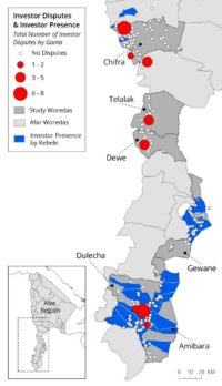
As part of an evaluation of USAID’s Land Administration to Nurture Development Project (LAND) In the Afar Region of Ethiopia, Cloudburst analyzed biophysical conditions as well as explored various spatial trends in the evaluation data such as investor disputes and types of livelihoods.
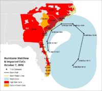
As Hurricane Matthew approached the USA, Cloudburst used geospatial analysis to help the Department of Housing and Urban Development (HUD) better understand how to engage with programs that serve homeless clients funded by the Continuum of Care (CoC) Program. Conducting analysis using NOAA’s National Climatic Data Center (NCDC) public dataset, Cloudburst quickly identified high risk CoC areas and assisted with outreach to programs to assess what resources these high-risk areas needed as they relocated vulnerable clients. Cloudburst has conducted similar analyses when other disasters (e.g. fire, floods) impacted communities providing homeless assistance services.
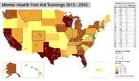
As part of our public health technical assistance to the Substance Abuse and Mental Health Services Administration (SAMHSA), our team looked at data from Project Advancing Wellness and Resilience Education (AWARE) that helps promote mental health awareness among schools and communities and improve connections to services. Our goal was to help SAMHSA and their grantees understand the geographic distribution of how many individuals were trained across the states in Mental Health First Aid.
Written by Nicole Walter, Evaluation Specialist. Nicole Walter contributes to the design and analysis for impact and performance evaluations of USAID-funded projects, most notably in the areas of land, land tenure security, rural development and natural resource management. Ms. Walter also coordinates Cloudburst’s geospatial analysis for international land tenure research and supports housing, community development, and disaster-related research projects across the USA.


